HK Historical GIS, 1900-1930
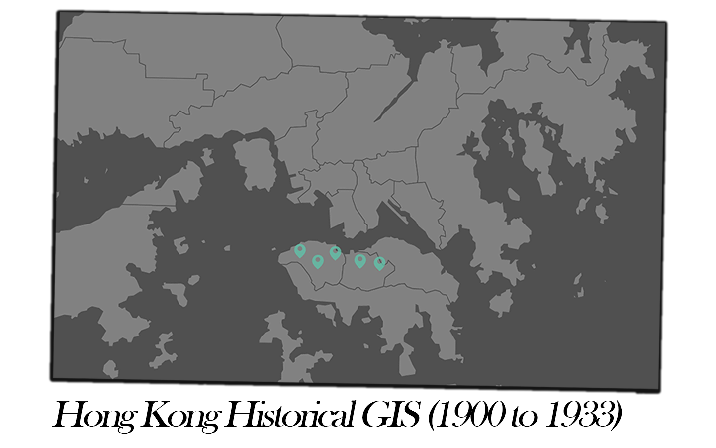
HK Historical GIS, 1900-1930 digital humanities project is to apply GIS technology to portray the geographical landscape of the commercial activities on Hong Kong Island from 1900 to 1933. The objective of this project is to convert the conventional archival directories and the historical block-maps into GIS data to provide spatial distributions and visualization of commercial entities on Hong Kong Island in a web-based map.
The GIS datasets are drawn from a Research Project via Dr Michael Ng (Faculty of Law, University of Hong Kong), in collaboration with Dr Edwin Chow (Texas State University), Prof David Wong (George Mason University) and Carlo Chan (University of Sheffield). The primary materials adopted from the Research Project to create this web-based GIS mapping project are old directories of Hong Kong and block-maps of Hong Kong in 1901. The historical directories list both public and private entities such as banks, merchants & traders, shipping firms, government offices, schools, churches, hotels, clubs and registered societies and associations. While the historical directories cover both Hong Kong Island and Kowloon side, the block-maps, however, illustrate only the geographical landscape of the urban areas of Hong Kong Island (around today’s Western District to Tai Hang). Therefore, only the spatial-temporal data of Hong Kong Island on the early twentieth century is included in this GIS database at the moment. It is hoped that interested scholars will further conducting GIS research analysis on Kowloon Peninsula in the future.
In this GIS database, various business activities are grouped into categories for browsing purpose, names of companies and organizations and keywords of business description can also be searched. Spatial distributions of business entities are displayed with associated spatial data, overlay of the 1901 historical map is provided to visualize the original geographical phenomena.